
MENGENAI PODCAST INI 🔗
Dive into the world of deep learning for satellite images with your host, Robin Cole. Robin meets with experts in the field to discuss their research, products, and careers in the space of satellite image deep learning. Stay up to date on the latest trends and advancements in the industry - whether you’re an expert in the field or just starting to learn about satellite image deep learning, this a podcast for you. Head to https://www.satellite-image-deep-learning.com/ to learn more about this fascinating domain
www.satellite-image-deep-learning.com
www.satellite-image-deep-learning.com
Hos:
Kekerapan kemas kini:
every 24 days
Purata panjang audio:
25 minutes
Temu bual tetamu
Bahasa Inggeris
Amerika Syarikat
49 episod
sejak 26 Jan 2023
episodic
EPISOD TERKINI 🔗

In this episode I sat down with Petya Kangalova and Kshitij Sharma from the Humanitarian OpenStreetMap Team (HOT) to discuss how GeoAI and community-driven mapping are being combined to support disaster response and humanitarian action. We explore how HOT works with local communities to generate ...
CARI EPISOD LEPAS
Cari episod lepas bagi Satellite image deep learning.
EPISOD SEBELUMNYA 🔗
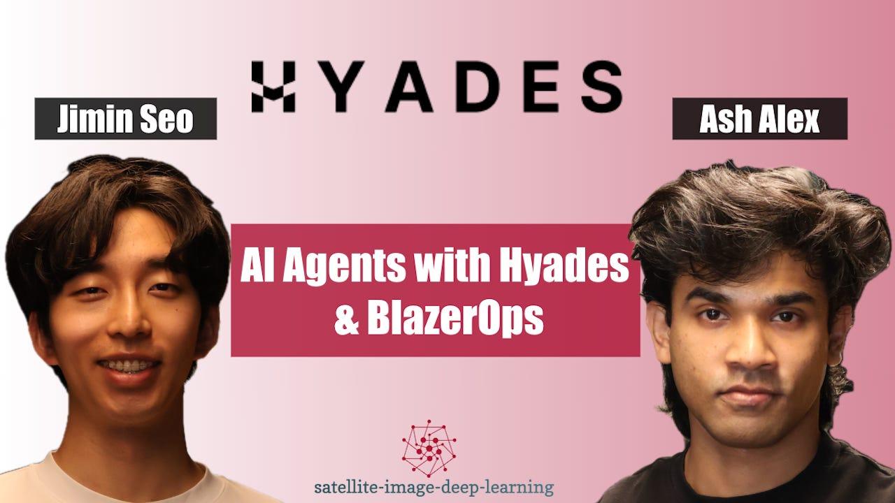
In this episode I caught up with Ash Alex and Jimin Seo, co-founders of Hyades, to discuss BlazerOps, an agentic platform for building machine-learning models and pipelines for geospatial data. They explain how the platform aims to make spatial ML faster and more accessible, helping engineers au ...
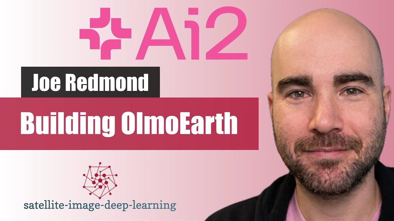
In this episode I sat down with Joe Redmond from the Allen Institute for AI (AI2) to discuss OlmoEarth, AI2's open geospatial foundation model for Earth observation. Joe explains how the project emerged from AI2's environmental and climate initiatives, where partners needed practical tools for a ...
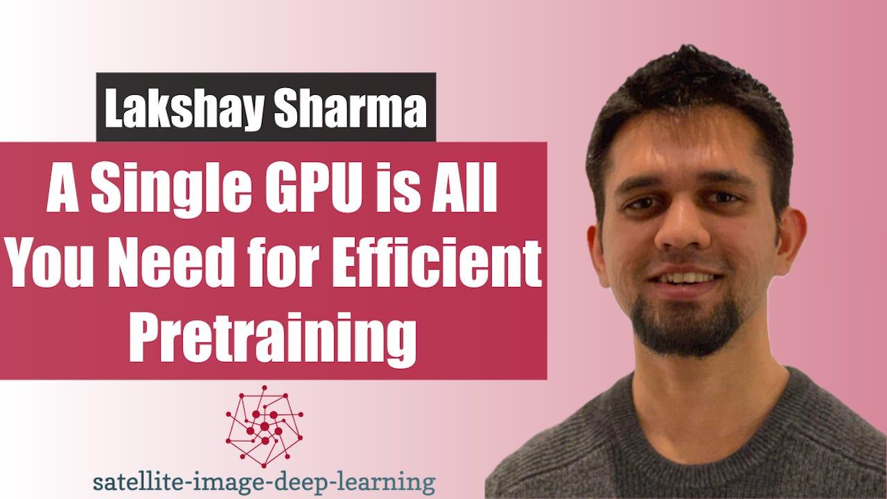
In this episode I sat down with Lakshay Sharma, a machine learning scientist at Instacart and former member of Microsoft’s geospatial AI team, to discuss self-supervised learning for remote sensing and his recent research on efficient pretraining for semantic segmentation. Lakshay explains the e ...
In this episode I sat down with Jennifer Marcus and Isaac Corley from Taylor Geospatial to explore Fields of the World - an open initiative to create globally consistent agricultural field boundary datasets from satellite imagery using AI and cloud-native geospatial infrastructure. Taylor Geospa ...
In this episode I sat down with Mikolaj (Miko) Czerkawski from Asterisk Labs to explore BetaEarth, an experimental open-source emulator trained on AlphaEarth Foundations' public embedding archive. AEF — released by Google and Google DeepMind as a global 10 m embedding product derived from a wide ...
In this episode I sat down with Kentaro Wada, a computer vision engineer at Mujin and creator of LabelMe, to explore the evolution of image annotation workflows. We discuss how his need to label data for a robotics challenge led to building one of the most widely used open-source annotation tool ...
In this episode I sat down with Hannah Kerner and Tristan Grupp to discuss Fields of The World (FTW), an open-source benchmark and ecosystem for global field boundary segmentation from satellite imagery. We explore the core challenge of building models that generalise across vastly different agr ...
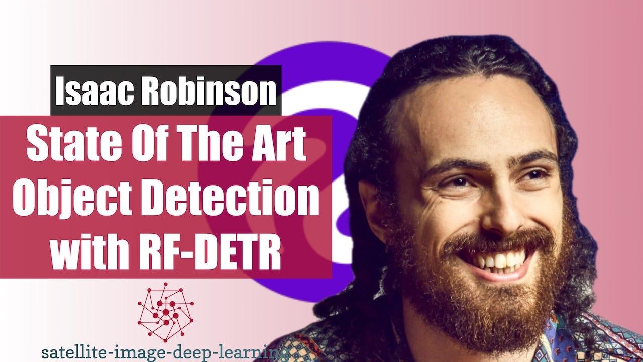
In this episode I sat down with Isaac to discuss RF-DETR, a new state-of-the-art family of real-time object detection and segmentation models from Roboflow. We cover the motivation for building models that are not just accurate but also fast, cost-efficient, and deployable across diverse hardwar ...
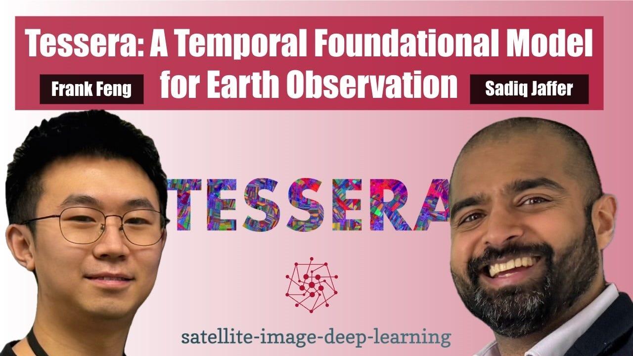
In this episode I caught up with Sadiq Jaffer and Frank Feng to discuss Tessera, a large-scale foundation model for Earth observation that produces annual, pixel-level temporal embeddings from multi-sensor satellite data. They explain why moving beyond single-date imagery is essential for unders ...
Penafian: Podcast dan karya seni yang dibenamkan pada halaman ini adalah daripada Robin Cole, yang merupakan hak milik pemiliknya dan tidak bergabung dengan atau disokong oleh Listen Notes, Inc.
ENJIN PENCARIAN PODCAST
Anda boleh menggunakan tapak web kami untuk mencari podcast3,830,049dan episod196,567,656mengikut orang, tempat atau topik.

If I have seen further than others, it is by listening to podcasts and standing upon the shoulders of
giants.
‐ Isaac "Llamacorn" Newton
CARI EPISOD LEPAS
Cari episod lepas bagi Satellite image deep learning.
TUNTUT PODCAST INI
Why to claim podcasts?
If you are a podcaster, the best way to manage your podcasts on Listen Notes is by claiming your Listen Notes
podcast pages.
It is a great, free way to engage the podcast community and increase the visibility of your podcasts.
After claiming your Listen Notes podcast pages, you will be able to:
✓
Manually refresh the RSS feed to sync up
✓
Get a verified badge (
✓
) alongside with your podcast name on Listen Notes
✓
Post iklan baris for sponsorship,
guests, co-hosts,
cross-promotion...
✓
Respond to listener comments on Listen Notes
✓
Use speech-to-text techniques to transcribe your show and
edit transcripts
✓
Improve the presence of your podcasts, e.g., self-service
temu bual podcaster...
✓
If you share your Listen Notes page and at-mention @ListenNotes
on X (formerly Twitter),
akaun X rasmi kami (dahulunya Twitter) will retweet to promote
your show to our followers.
Coming soon:
◯ Self-service promotion on Listen Notes
◯ Track your podcast stats on Listen
Notes, e.g., listens, page
views...
◯ Manage episodes
SUNTING
Terima kasih kerana membantu memastikan pangkalan data podcast dalam keadaan terkini.
