
INFORMAZIONI SU QUESTO EPISODIO
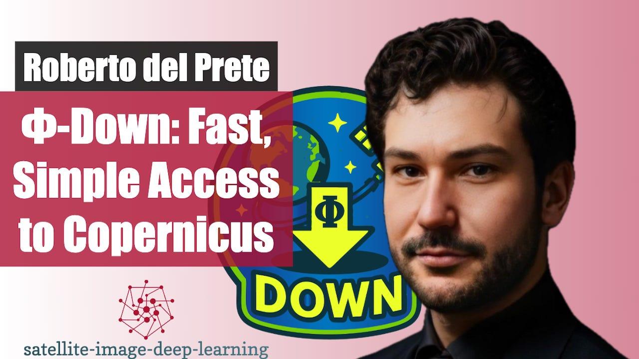
In this episode, Roberto from ESA’s Φ-lab in Frascati introduces PhiDown, a community-driven open-source tool designed to simplify data access from the Copernicus Data Space Ecosystem (CDSE). He explains why PhiDown was created, how it uses the high-speed S5 protocol for efficient downloads, and how it differs from other platforms like Google Earth Engine. The discussion highlights real-world use cases, from automating Sentinel data pipelines to building large-scale datasets for AI models. Head to YouTube on the link below to view the recording of this conversation, along with an extended demo of using PhiDown.
* 🖥️ PhiDown on Github
* 📺 Video with demo on YouTube
🚀 Timeline
* 0:38 Motivation — PhiDown created to simplify access to Copernicus data 1:55 Key Tech — Built on S5 protocol, derived from S3, ~5–10× faster
* 2:44 Comparison — Unlike Google Earth Engine, PhiDown gives direct access to raw products such as Level-0 Sentinel imagery
* 5:01 Use cases — Automating pipelines (auto-download latest Sentinel products). Accessing low-level products for algorithm testing. Building large datasets for ML / foundation models. Research applications: wildfire detection, vessel monitoring, timeliness studies with Level-0 data
* 6:55 Development context — Roberto notes the rise of LLMs and coding agents. Tools can help, but domain expertise still required.
* 8:01 Open Source — PhiDown is on GitHub. Includes documentation + example notebooks. Community-driven project — Roberto encourages contributions, feature requests, and collaboration.
Bio
Roberto is an Internal Research Fellow at ESA Φ-lab specialising in deep learning and edge computing for remote sensing. He focuses on improving time-critical decision-making through advanced AI solutions for space missions and Earth monitoring. He holds a Ph.D. at the University of Naples Federico II, where he also earned his Master's and Bachelor's degrees in Aerospace Engineering. His notable work includes the development of "FederNet," a terrain relative navigation system. Del Prete's professional experience includes roles as a Visiting Researcher at the European Space Agency's Φ-Lab and SmartSat CRC in Australia. He has contributed to key projects like Kanyini Mission, and developed AI algorithms for real-time maritime monitoring and thermal anomaly detection. He co-developed the award-winning P³ANDA project, a compact AI-powered imaging system, earning the 2024 Telespazio Technology Contest prototype prize. Co-author of more than 30 scientific publications, Del Prete is dedicated to leveraging advanced technologies to address global challenges in remote sensing and AI.
This is a public episode. If you would like to discuss this with other subscribers or get access to bonus episodes, visit www.satellite-image-deep-learning.com